The study area was the mountain and valley setting of Okanagan Basin, British Columbia, Canada. Increases in population, tourism, and agriculture (primarily orchards and vineyards) have led to an elevated demand for water through the basin. Surface water sources in the basin are almost fully allocated, and many communities are turning to groundwater as a primary water supply source or to supplement existing supplies. The community of Oliver, in the southern Okanagan, has identified managing water quality as a key priority for future growth (Smart Growth on the Ground 2006). |
|
The susceptibility map for the Greater Oliver area was developed following fairly closely the original method and rating tables suggested by Aller et al. (1987). Susceptibility maps represent an effective means of synthesizing complex geologic and hydrogeologic information for use by planners and policy-makers in developing resource management and growth management strategies. The Greater Oliver area, comprised of the Town of Oliver and its surrounding rural area, participated in an initiative called Smart Growth on the Ground (SGOG) that works with communities to develop plans for growth that are smarter and more sustainable. The susceptibility maps developed for the south Okanagan were used in NRCan's Pathways Project, Land Use Allocation Model (LUAM). The LUAM supported the delineation of areas suitable for future growth based on constraints and indicators identified by the community. |
|
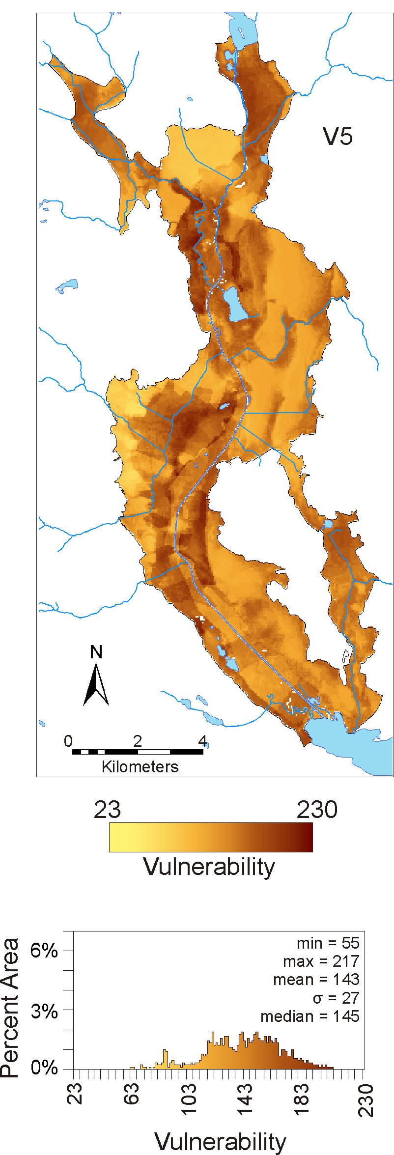 |
This map presents a realistic combination of methods that a groundwater specialist could use to determine the susceptibility of the valley bottom area using expert hydrogeologic knowledge and given the need to incorporate local changes in susceptibility. Modification of the rating tables was needed to account for the fact that there was limited variability of input parameters. Typically there is no independent estimate of susceptibility to which the mapper can compare results. Therefore, it is important that those who undertake susceptibility mapping understand the hydrogeology of the system in order to realistically select which data sources, interpolations, and rating tables would be most suitable. In other words, susceptibility mapping should be completed by a trained professional, whose expertise is required to make professional decisions about the susceptibility mapping process.
|

