|
Introduction
Objectives
Methodology
Analysis
Error
Issues
Results
|
|
 To
make sure that there were no missing polygons or arcs between coverage
boundaries, each coverage was digitized so that there was slight overlap
between each (measured as 1 inch of overlap on the base map).
Once the overlapped edges were assessed for accuracy, they were
clipped away so that edge-matching and joining procedures could be done,
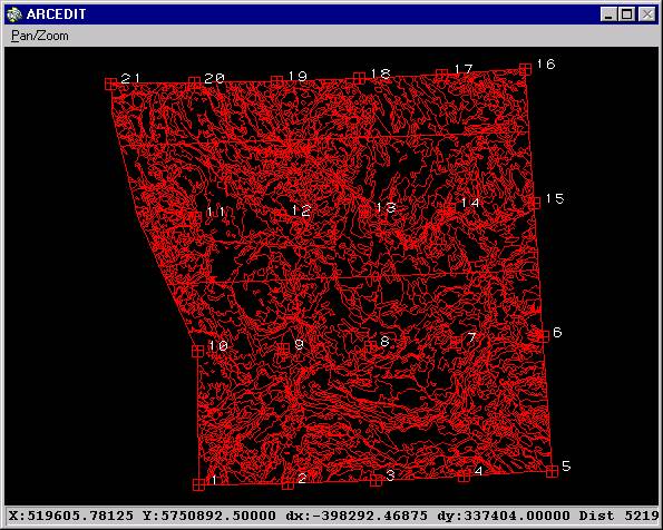
combining the three separate coverages into one. Once
joined, the adjacent polygon borders containing the same feature attribute
values were dissolved, creating the final coverage,
entire. To
make sure that there were no missing polygons or arcs between coverage
boundaries, each coverage was digitized so that there was slight overlap
between each (measured as 1 inch of overlap on the base map).
Once the overlapped edges were assessed for accuracy, they were
clipped away so that edge-matching and joining procedures could be done,
combining the three separate coverages into one. Once
joined, the adjacent polygon borders containing the same feature attribute
values were dissolved, creating the final coverage,
entire.
Click
to see large graphic of 'entire'

|