| Completed DEM Image | ||
|
|
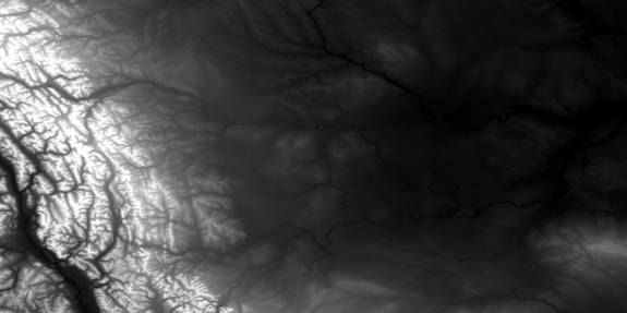
The completed, unehanced DEM data set image of the Southern Alberta study region consisting of a 3x3 DEM grid. The upper six DEM images above 50°N have been resampled to the same parameters as the three data sets (2401 pixels by 1201 lines) below this meridian Data sets were thus all of uniform size and then could be properly aligned together.
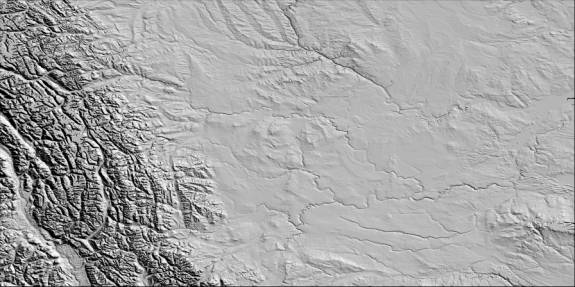
The same completed DEM data set image as in Figure 1 with 30° sunshading above the equator and at 2:30 pm. The use of sunshading (aka hillshading) greatly aided in the topographic visulization of the area, where the general landscape characteristics can be seen. To the left are the Rocky Mountains and the border divide between Alberta and British Columbia. Along the lower right corner is the Cypress Hills.
|

