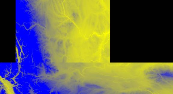
| Alberta DEM Information | ||
|
|
The
edge pixels are centered on the parallels or meridians, so that when
databases are defined, minimums and maximums have to be calculated
acccordingly. There
ares no headers on the files. Data
sets north of 50 degrees are 1201 pixels by 1201 lines. This results in a
cell size of 3 arc secs in latitude and 6 arc seconds in longitude. Data
sets south of 50 degs are 2401 pixls by 1201 lines. This results in a cell
size of 3 arc secs in latitude and 3 arc secs in longitude.
|
