
Wizard Island Trail
Wizard Island as viewed from Rim Village.
Photo credit: Peter Eredics
To climb Wizard Island is to climb a volcano within a volcano. Wizard Island is a cinder cone that was created from several minor eruptions at least 900 years ago, while the lake level was rising (USGS, 2003).
In order to reach Wizard Island, you have to descend the Cleetwood Cove Trail, then take a boat tour to the island. The boat stops at the island, allowing passengers the opportunity to get off, explore the island, and then take a later boat back. A note of caution: the boat ride back is dependent on the amount of space available. If no one on a later boat gets off to explore Wizard Island, there will be no room for you on the boat. This means that visitors run the risk of staying on the island until the last boat arrives, which is at 6:30 pm.
The trail itself is a 1.1 mile hike to the summit, with a 754 foot elevation gain (Sullivan, 2002). Once at the summit, you can descend into the crater. The crater has a diameter of 300 feet, and is 90 feet deep.
Click HERE to see the trail map!
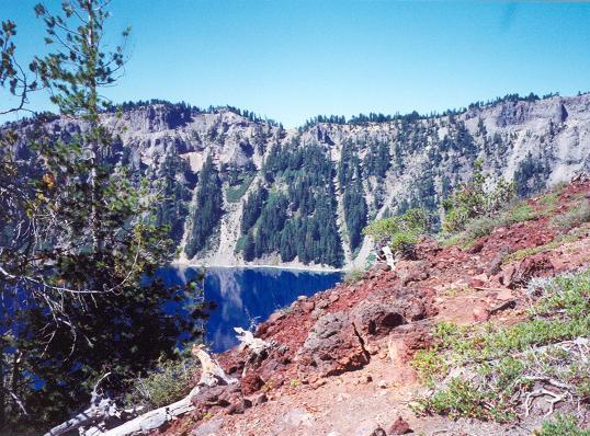
Views from along the trail:
(all photos from Ray's personal collection)
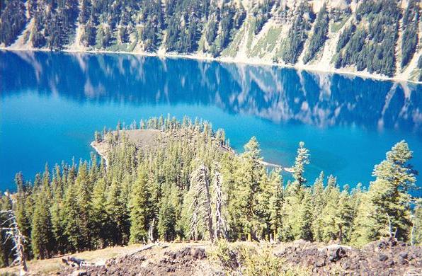
Looking down on the lake.
The lake displays its strikingly blue color.
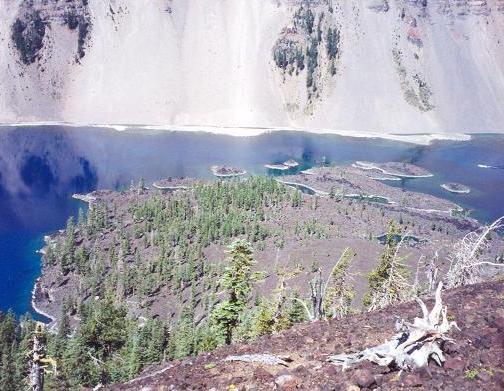
Wizard Island's lava field
Looks straight downslope onto the lake.
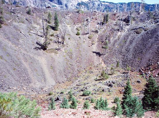
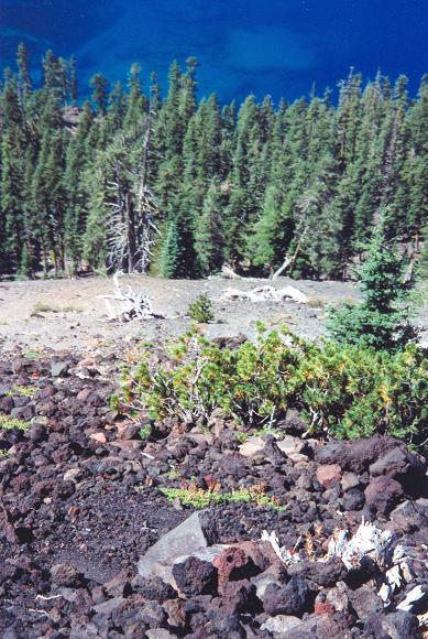
A look inside the crater.