Non-Market Housing in Vancouver
Discussion and Problems
Discussion:
The final image was reclassified to designate the best possible areas
to develop non-market housing (image). The areas of priority would
be Most Suitable and Very Suitable. Somewhat Suitable and Least Suitable
would not be considered unless there was no available land to develop in the
suitable areas, or unless there were other factors not assessed in this analysis
that would provide developers adequate reason to develop there.
This analysis answered the question I posed at the beginning of the project.
Upon finding the most suitable areas, a developer would then be required
to find vacant land or property for sale to develop. In Vancouver, vacant
land and properties for sale are frequently changing and to find such properties,
one would be required to search Real Estate databases and the City of Vancouver
Website (link).
Problems:
The majority of the problems that I encountered had to do with the lack
of metadata. Because I am uncertain of where some of the data came
from, the accuracy of the data is not known. There is also positional
accuracy problems with both the data I obtained and with the data I digitized
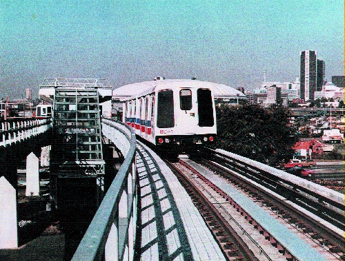
myself. My Skytrain stations may not be exactly where they should,
and this can cause problems when calculating distance from the skytrain to
dwellings. Because my digitized points are very close to their accurate
locations, the distance calculations will not be significantly incorrect.
Another error would be temporal change, such as the change in average
annual household income over the years (1996 - 2002). Finally, this
analysis would be more complete if it calculated distances based on the
actual routes that people would travel by foot, rather than absolute distances.
Also, information such as distances from elementary schools and community
centers were not included in this analysis. Had the information been
included, the analysis would be more complete.
Overall, I found my results to be a success. The suitable areas
are clearly shown on the map and make sense. These areas are within
walking distance to important amenities, are located within appropriately
zoned land, and are located in areas where the need is greatest. Hopefully,
with more non-market housing projects, Vancouver will be able to reduce the
number at-risk families and individuals because they would then be able to
afford housing within their budget.


Back to Table of Contents


