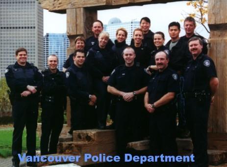
This project was birthed from the spatial question relating the entity of crimes in Vancouver and the locations in which they happen. This question would greatly aid the Vancouver Police Department in their tasks of allocating appropriate numbers of personnel when dispatching their patrol teams.

The economic nature of the business of policing requires officers in charge to make educated decisions on the best places to dispatch patrol teams, these choices are critical ones that are usually associated with lives being saved or lost as function of response time of the police. When police patrol teams are located nearer to the likelyhood of crimes, then the response time of patrol teams, and thus their ability to advert criminal disaster is greatly increased. Already the Vancouver Police is utilising G.I.S. to apprehend serial criminals through the pioneering work of Inspector Kim Rossmo, but G.I.S. has even more far stretching uses for policing.
This project attempts to explore
other such uses. The spatial analysis will attempt to answer the
likelyhood of crimes as they pertain to three spatial entities. Namely:
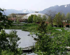
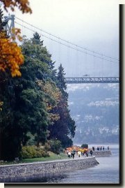
PARKS:

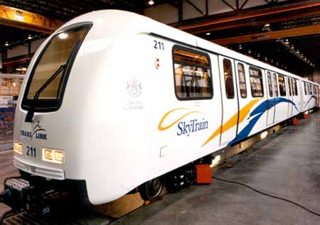
THE SKYTRAIN ROUTE:
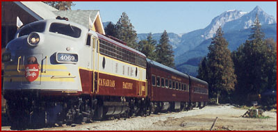
RAIL ROUTES:
