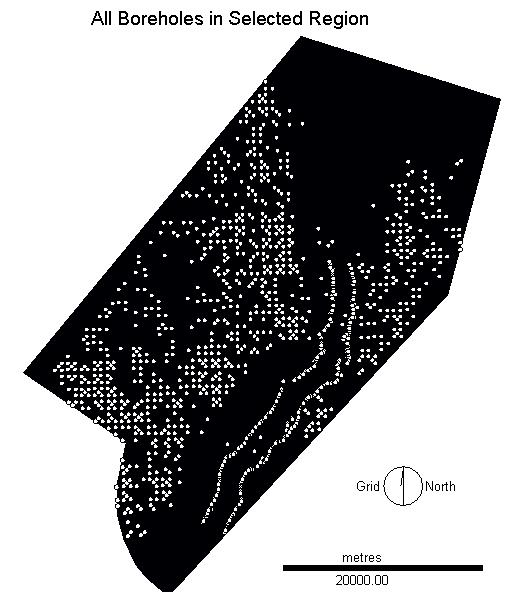

Borehole Data:
Borehole data was provided by the Manitoba Geological Survey to Dr. Tracy Brennand at SFU, who allowed it to be used in this analysis. In Manitoba, every time a well is drilled the information on the downhole materials in collected by the company or persons involved and provided to the MGS as required by law. The collection of the data by lay persons who are not trained in the examination and identification of sediments and rock types is a major concern as a source of erroneous data. Also, the means by which the sediments are examined are a concern. Water is pumped into the drill hole and sediments come to the surface as a slurry, making accurate identification of the materials difficult. The data submitted gives descriptions of sediments in very loose terms such as "red earth" or "muddy sand" which the MGS must then classify into broad categories such as sand, gravel, soil, till, etc. The MGS maintains a database of all field observations as well as the reclassified information on material type. Locational accuracy is low (+or- 1 mile) because the location of the well is provided to the MGS as a section number. Wells are then located to the centroid of the given cell, which results in boreholes with coincident locations where more than one borehole was drilled in a section and an artificial regular pattern to much of the data. Data is also sparsely distributed in some areas and very dense in others.