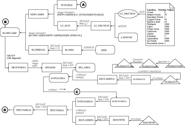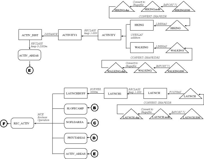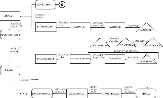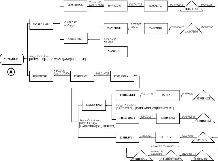
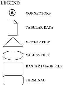
This cartographic model
is a graphic representation of the procedures within the Idrisi32 system
to derive a new location for a provincial campsite. Filenames are provided
within symbols, operations are described along flowlines, and connectorsare
used to combine the following six cartographic models into one.