Part Five:
Dam Sites and Natural Appreciation Areas
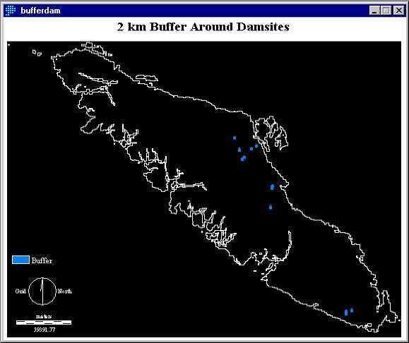
Dam sites are dangerous and less appealing than
natural phenomenon. Dam sites will therefore be avoided in the determination
of a new campsite. Dam sites were BUFFERed as major roads were earlier
in this analysis to create BUFFERDAM (fig. 16). BUFFERDAM and NO_ROADS1
were joined using the OVERLAY (subtract) operation and reclassed to allow
for further operations to create RECLASSFINAL2.
Fig. 16
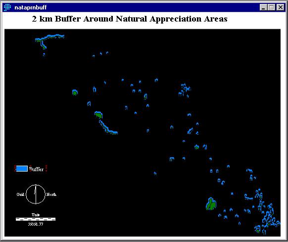
NATAPRNBUFF (fig. 17) is a 2 km buffer around natural appreciation areas (i.e. birdwatching, scenic landscapes, etc.). These areas are visually appealing and recreationally viable for camping areas. These natural appreciation areas were found by converting from ArcInfo format (E.00), like flooding data earlier in this analysis, into Idrisi vector format (.VDC). Like the DAMSITE data, NATAPRN data was BUFFERed with 2 km buffers. But in this spatial analysis we wish to place the campsite within 2 km of natural appreciation areas.
Fig. 17