1.1 Study Site & Methods
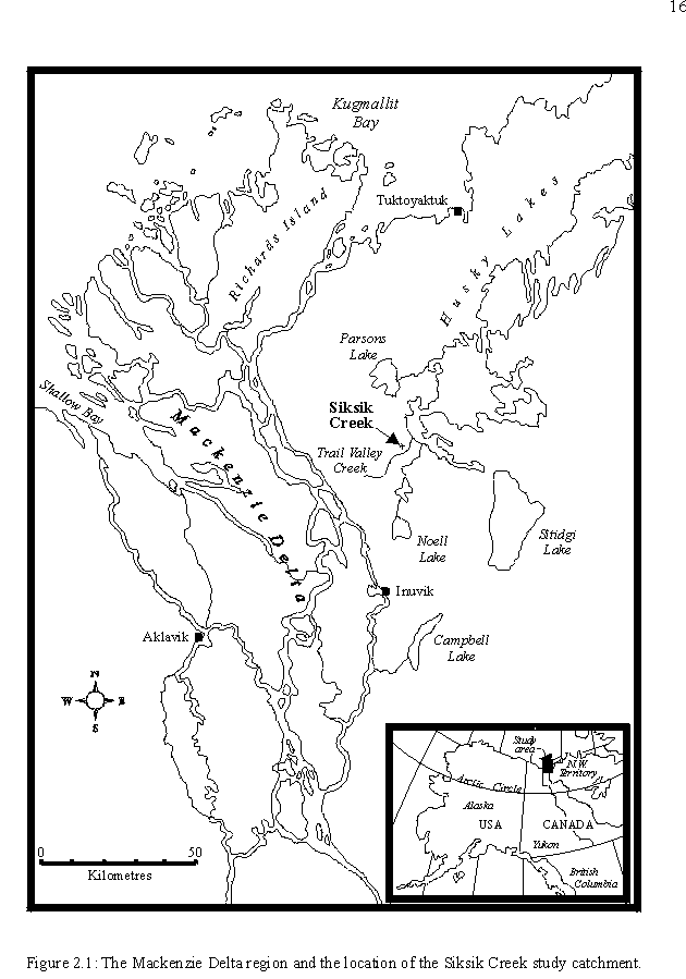
The slides given to me by Professor Bill Quinton were from Siksik Creek
( 68044'N, 133028'W), located approximately 55 km
north-northeast of Inuvik, NWT, Canada. The tracing experiments
includes equipment installation and data collection at the Middle Plot
which were undertaken in 1992. At the west side of Siksik Creek at
three small (~1000-2000 m2) study plots: the North, Middle and
South were measured by hydrology measurements. The samples of the
peat were prepared in thin sections from the core at Soil Science Department,
University of Saskatchewan. Please see Fig.2.1 to locate the place.
(Quinton, W.L., 1997, Quinton, W.L., P. March, 1999).

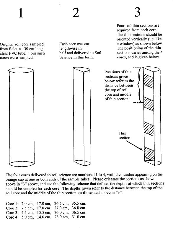
1.2 Diagram of a Core

Figure 1: By Professor Bill Quinton
1.3 Sample Slides are from Core 3:
Section 1 Vertical 0-7cm
Section 2 Vertical 7.5-14.5cm
Section 3 Vertical 15.22cm
Section 4 Vertical 22.5-29.5cm
1.4 Definitions
Active porosity of peat means pores (the proportion of the total
volume of peat) that actively transmit water varies significantly with
depth.
Pixel means a grid cell or a square.