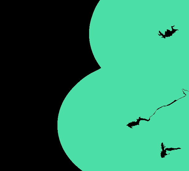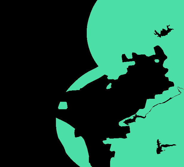
2) I then had to create a buffer around the lakes of 15km using
the Buffer function. Once that was done I was able to overlay
the 'citylimits' image and the 'lakebuffer15' image using image1
+ image2 (boolean + ) and then reclass once again to produce
the boolean image 'citylakebool'
lakebuffer15.rst

citylakebool.rst
