LANDUSE.rst
-
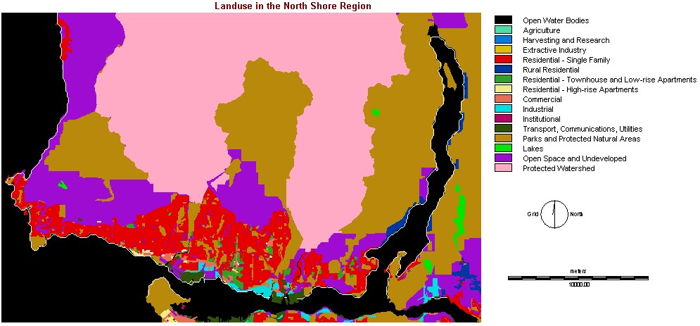
This raster data layer shows the different
types of landuse across the North Shore Mountains Region. The data layer
is already in Idrisi format; therefore, I was to use this data layer effectively
for spatial analysis purposes.
Data Source - SFU SIS server (S:\355-data\Data\gvrd)
DEM_VAN.rst - This raster layer dispalys the elevation in the North Shore Mountains area. Before this data layer could be used for spatial analysis purposes, the file must be convered from rastergrid ArcView format to Idrisi raster format. This is done by exporting the file from ArcView, then importing the file as a ASCII raster file from Idrisi.
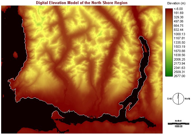
Date Source: Land Data BC
Please click here
for Data Preparation and Manipulation - Boolean Images
(3.4)
Or click here to go back to main menu