Mapping of the
Emergency Response Teams
to the 2010 Vancouver Olympic Venues
Spatial Analysis
The first step in analyzing this problem it to calculate the distance of the Olympic Venues to the hospitals, police departments and the fire departments. To calculate this, the DISTANCE function was run on each of the layers.
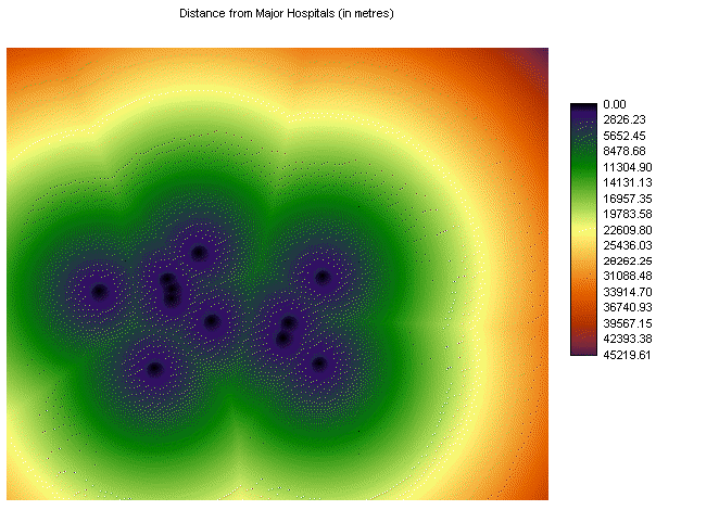
Map 1: Hospitals
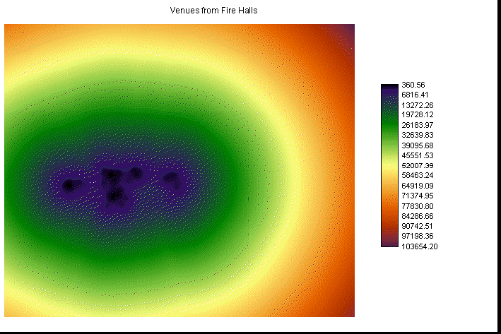
Map 2: Fire Halls

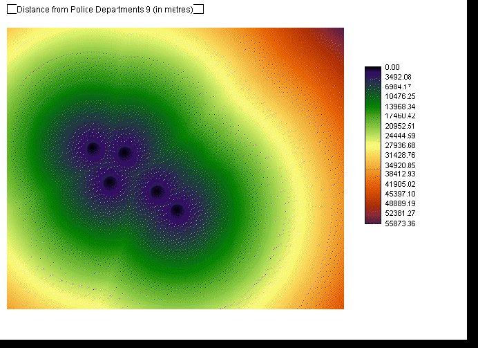
Map 3: Police Departments
Map 4: Olympic Venues

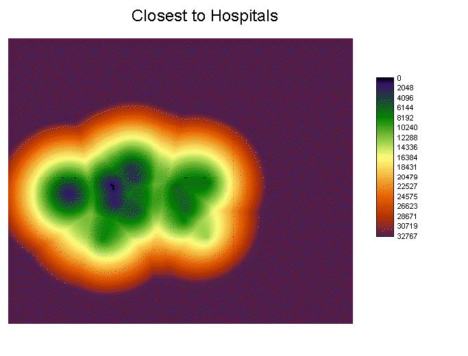
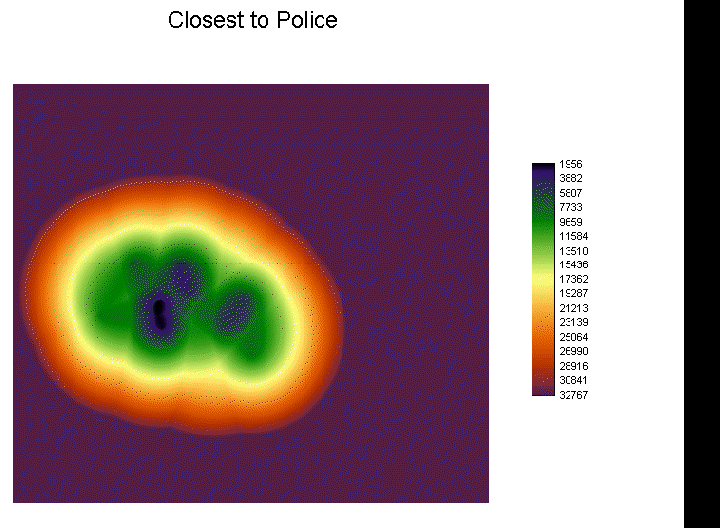
Afterwards, I then did an OVERLAY of each of the layers to find out which police and fire departments and hospitals are closest to the indoor Olympic venues. Here are the maps that show which buildings are closest to the indoor venues. The distance from the venues is 1000 metres away.
Map 5: Venues closest to the Hospitals

Map 6: Venues closest to the Fire Halls
Map 7: Venues closest to the Police Departments.

Then aftwards I performed a RECLASS function to find which fire halls, police departments and hospitals are located near the venues.
Map 8:

Map 9:
Map 10:
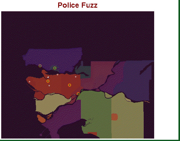
Next performed was the MCE function, I needed to reclassify the distance images using the FUZZY command. And after the FUZZY images were created, next that was used was the WEIGHT function to determine the weights of the criteria that were listed above. I created three different weight files, police departments, fire departments, and weights. The weights were measured against the the type of streets.
Highwayfuzz
Streetfuzz
Wayfuzz
Avefuzz
Here are the FUZZY images that were created.
Map 11: Police Fuzz
Map 10: Fire Fuzz

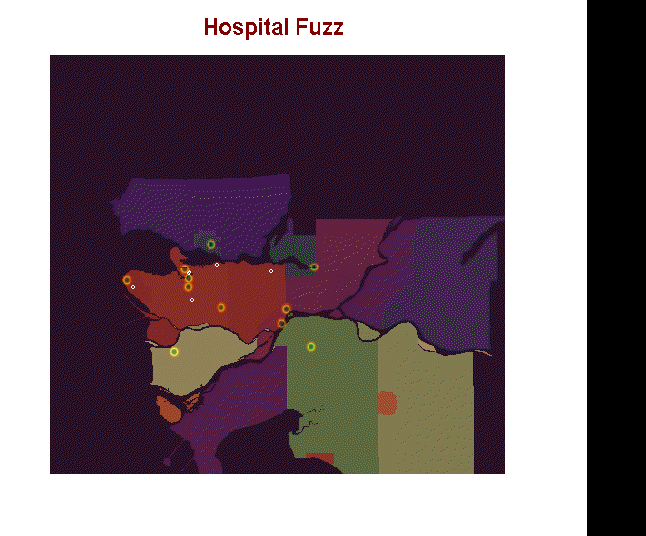
Map 11: Hospital Fuzz