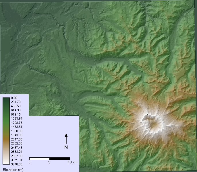
Overhead view of Mt. Rainier and the surrounding terrain. Most of the populated areas are in the upper-left of this map (not shown in this view).
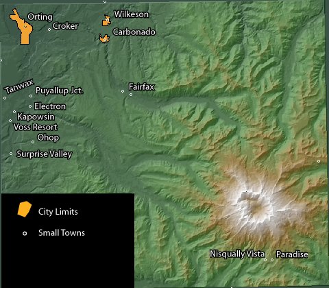
Same view as the previous map, including populated places and city limits.
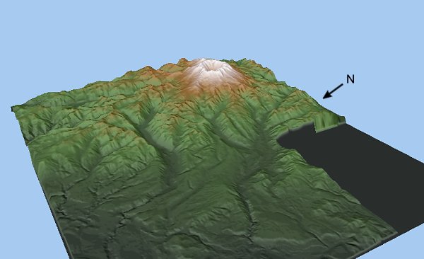
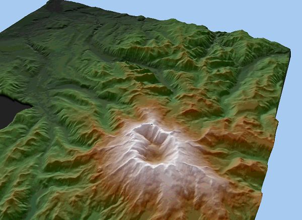
View towards Mt. Rainier from the northwest.
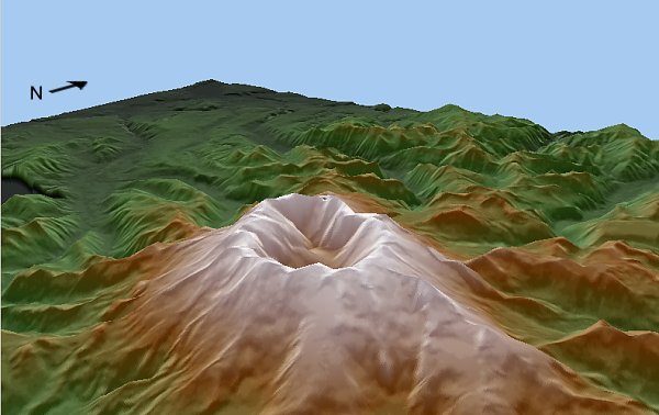
View from behind the summit of Mt. Rainier towards the inhabited lowlands.
Higher view from behind the summit showing valleys descending towards the lowlands in the northwest. |