Methods
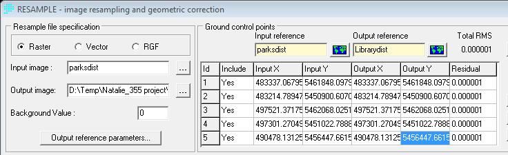
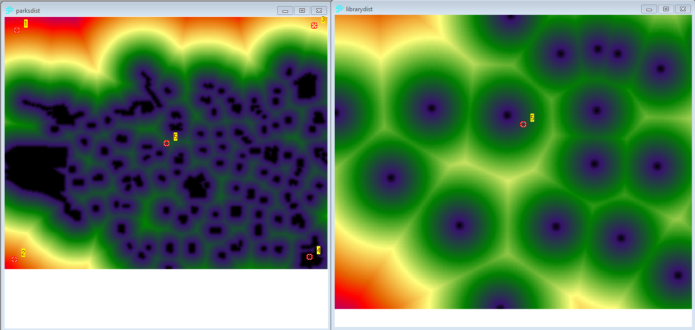
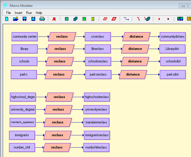
This section outlines the number of steps that were done in IDRISI in order to prepare and manipulate the data for the Multi Criteria Evaluation.
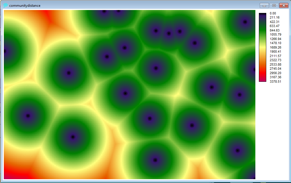
Community Center Distance
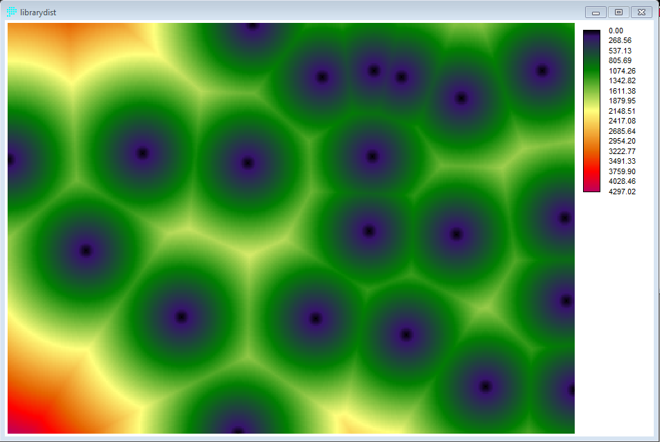
Library Distance
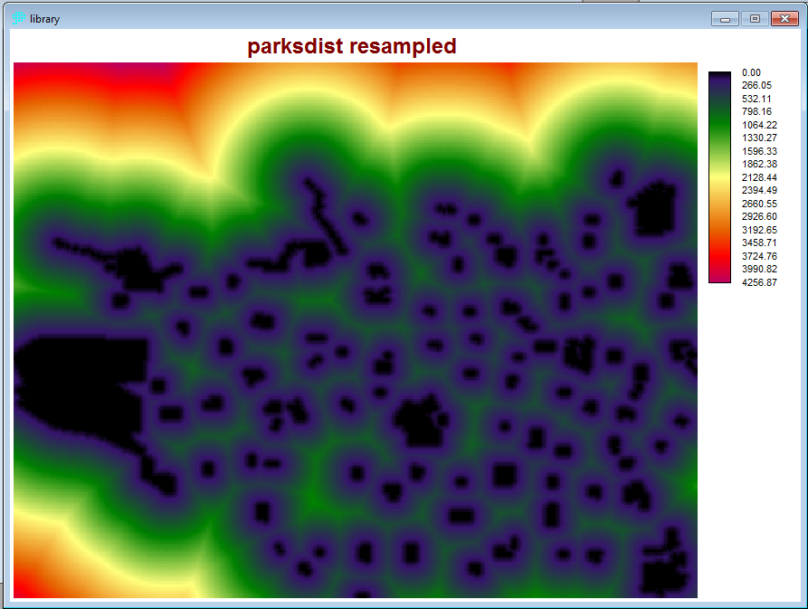
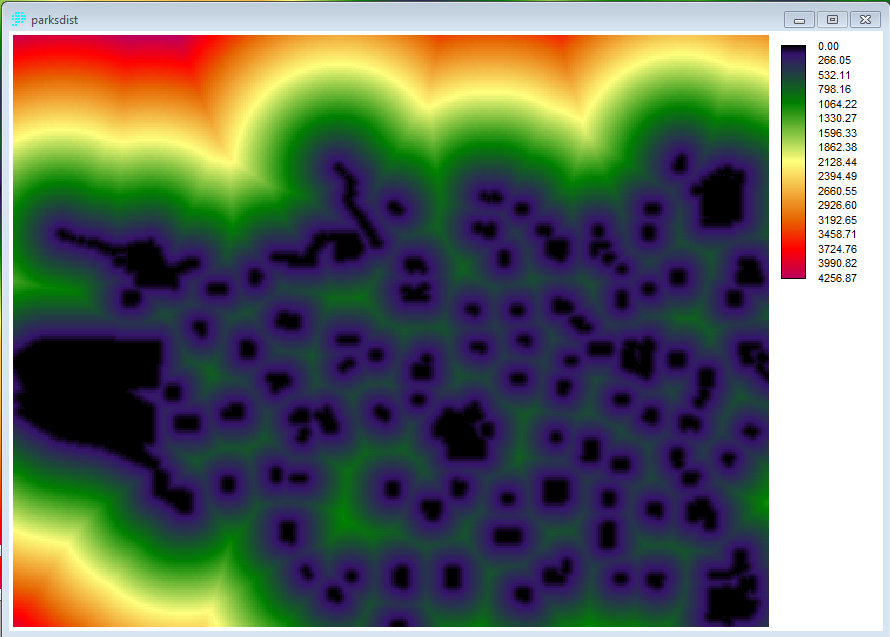
Park Distance
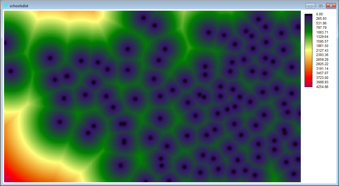
School Distance
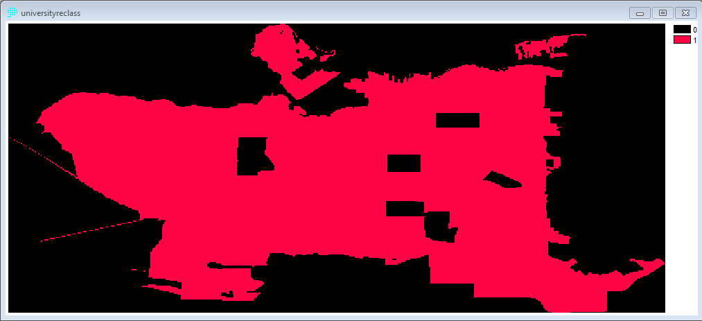
Reclass
This section outlines the number of steps that were done in IDRISI in order to prepare and manipulate the data for the Multi Criteria Evaluation.
Community Center Distance
Library Distance
Park Distance
School Distance
Reclass